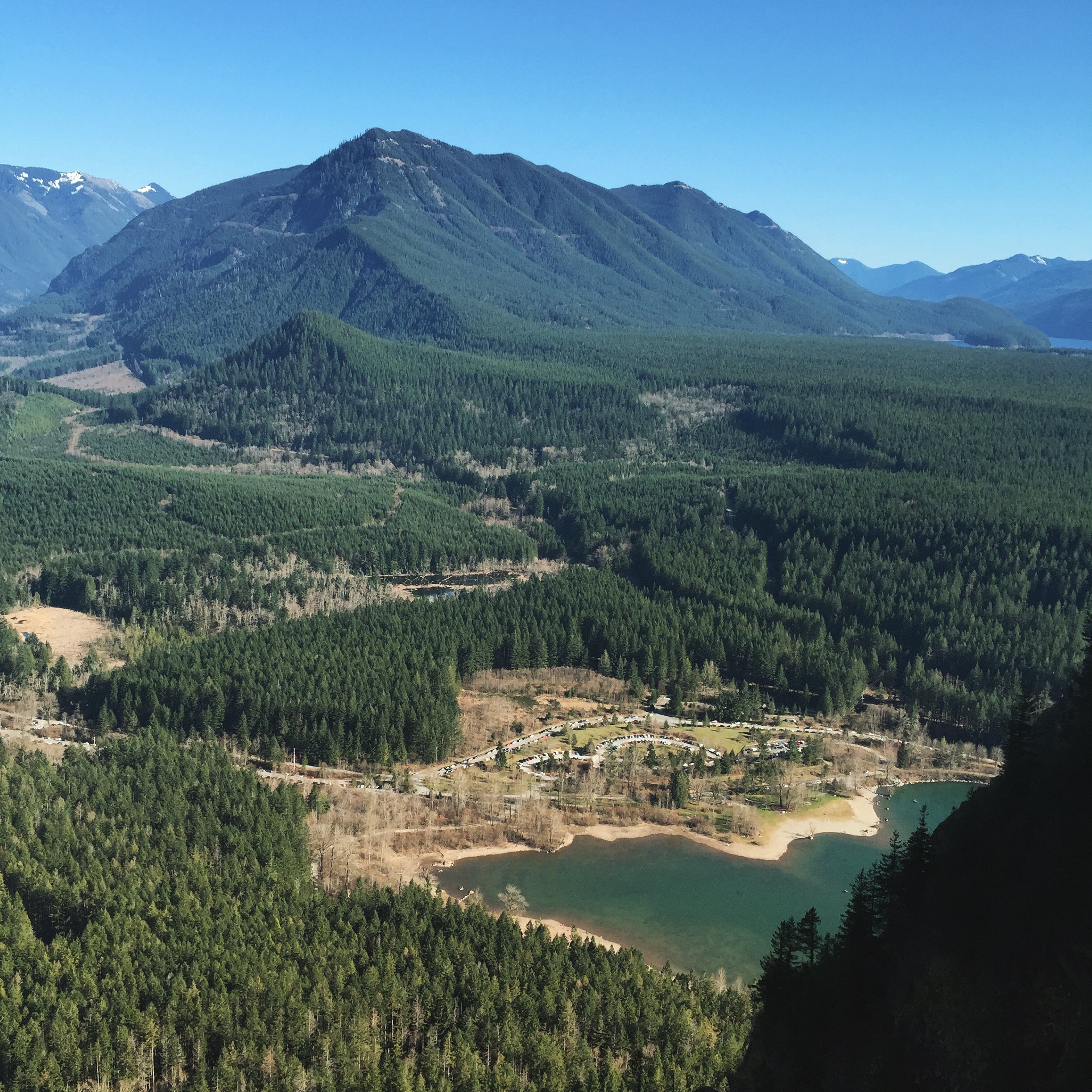
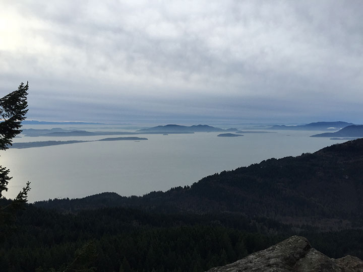
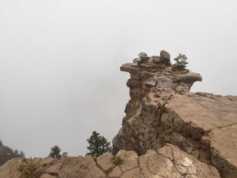
GeoCache 20. Hidden Lake – Lake Wenatchee, Washington – N 47° 49′ 15″ W 120° 48′ 55″ – 1 Star, Hike or Walk to your destination, Small Square Container Ready, Set, Seek… Hidden Lake Help Us by Donating Today… Cheers Thank You!!!
-
-
#19. GeoCache, RattleSnake Ledge
GeoCache 19. RattleSnake Ledge – North Bend, Washington – N 47° 26′ 14″ W 121° 46′ 48″ – 2.5 Star, Hike to your destination, Small to Medium Round Container Ready, Set, Seek… RattleSnake Ledge Trail is a 4 mile heavily trafficked trail located near North Bend, WA. RattleSnake Lake Help Us by Donating Today… Cheers…
-
Activities - Adventure - Athletics - Beanies - Brands - Disc Sports - Gear - GeoCaching - Inspiration - Knick Knacks - Knowledge - Nature - Psychology / Sociology - Science / Technology / Future - Shirts
Eagle Lake & Mountain Junkie Photoshoot…
Mountain Junkie photoshoot was a success. Eagle & Stone Lake, Central Cascades — Stevens Pass – West PARKING PASS REQUIRED: NW Forest Pass Many of the recent reports have been failed attempts to make it up to Eagle Lake. If you want to get there easy, look up the “Fisherman’s Trail”. The…
-
#18. GeoCache, Big Rock
[wpdevart_like_box profile_id=”” connections=”6″ width=”300″ height=”550″ header=”0″ locale=”en_US”] GeoCache 18. Big Rock – Mount Vernon, Washington – N 48° 25′ 39″ W 122° 15′ 42″ – 1.5 Star, Hike to your destination Medium Container Ready, Set, Seek… From the rocks you have views south over the Palouse to Steptoe Butte and north over the Spokane Valley…
-
#17. GeoCache, Little Mountain
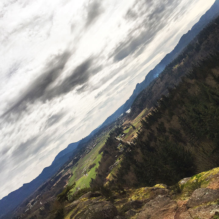
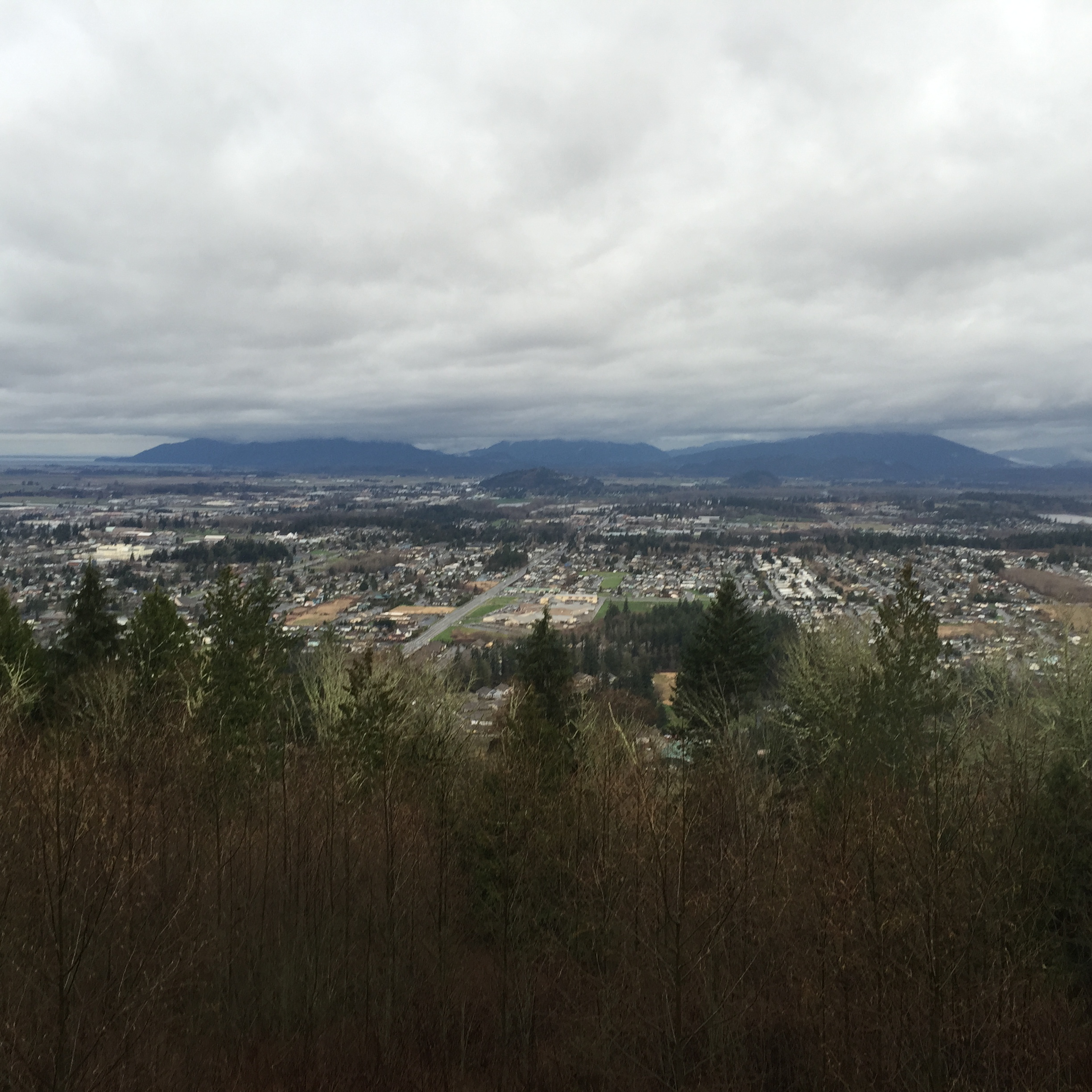
GeoCache 17. Little Mountain – Mount Vernon, Washington – N 48° 23′ 46″ W 122° 18′ 24″ – 2 Star, Hike or Walk to your destination Medium Container Ready, Set, Seek… Multiple hiking trails exist on the mountain, including a 2.5-mile roundtrip summit trail. The summit trail is the most used trail on the mountain,…
-
#16. GeoCache, Oyster Dome
[wpdevart_like_box profile_id=”” connections=”6″ width=”300″ height=”550″ header=”0″ locale=”en_US”]GeoCache 16. Oyster Dome – Burlington, Washington – N 48° 37′ 37″ W 122° 24′ 54″ – 3.5 Star, Hike or Walk to your destination Medium Container Ready, Set, Seek… The trailhead is located along Chuckanut Drive. The trail climbs steeply, crosses a creek, and…
-
#15. GeoCache, Grand Canyon
GeoCache 15. Grand Canyon, Arizona – N 36° 3′ 39″ W 112° 6′ 24″ – 2 Star, Hike or Walk to your destination Medium Container Ready, Set, Seek… Help Us by Donating Today…
-
#14. GeoCache, RimRock
GeoCache 9. Rim Rock, Naches – N 46° 39′ 53″ W 121° 5′ 40″ – 2 Star, Hike or Walk to your destination Small Round Container Ready, Set, Seek… Help Us by Donating Today…
-
#13. GeoCache, Stevens Pass
GeoCache 9. Stevens Pass – N 47° 44′ 10″ W 121° 5′ 50″ – 3 Star, Hike to your destination Large Round Container Ready, Set, Seek… Help Us by Donating Today… Cheers, The Foxy Lady!!!
-
#12. GeoCache, Lake Tye
GeoCache 12. Monroe, lake Tye – N 47° 52′ 0″ W 122° 0′ 44″ – 2 Star, Ru n or Walk to your destination Small Round Container Ready, Set, Seek… style=”display:inline-block;width:300px;height:600px” data-ad-client=”ca-pub-2971458680342230″ data-ad-slot=”9178726504″> Help Us by Donating Today…

